





U.S. Scientists Map Country-Wide Wildfire Risk, Every Day
Posted On
October 01, 2026
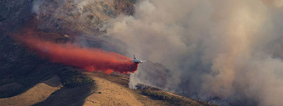
Dryness is a critical driver of wildfires. To help prevent and predict fires, scientists at the U.S. National Science Foundation National Center for Atmospheric Research are producing real-time maps of the moisture content of vegetation across the country. Click on the link below to see the maps on their website.
PHOTO © USFS GREG DEIMEL
Read More: Mapping Wildfire Risk Across the US, Day by Day → | See Maps: Fuel Moisture Content →